


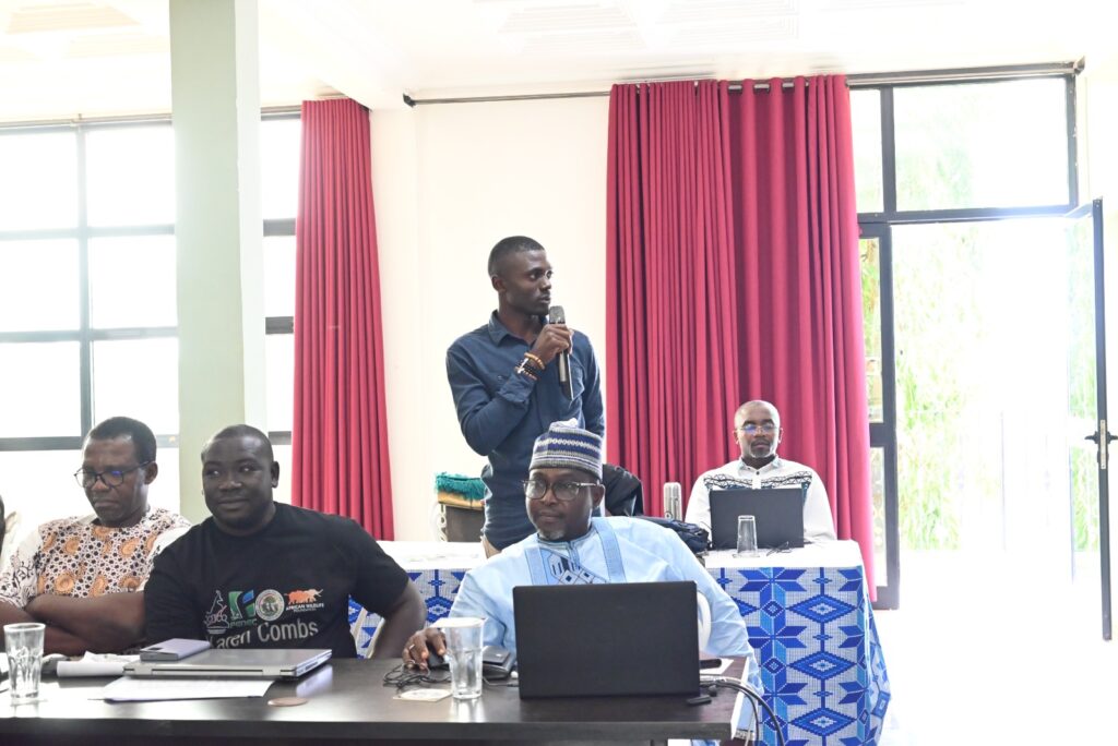
The GEF7 IP has reached a pivotal milestone with the conclusion of its fourth year of implementation. Within the TRIDOM landscape, specifically targeting the municipalities of Mintom and Ngoyla, two key partners, the Integrated Planning and Development Program for the Dja Mining Loop and the Adjacent Border Area (PADI-DJA/PNDP) and the National Observatory on Climate Change (ONACC), have made remarkable strides. From the GEF7 perspective, these efforts are laying the essential groundwork for a sustainable, inclusive, and scientifically grounded model of territorial governance.
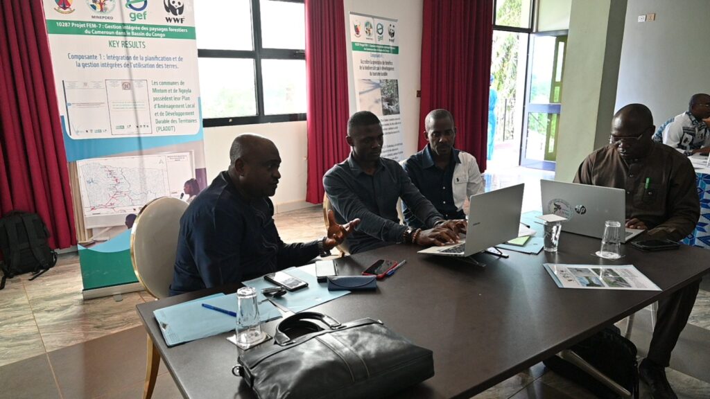
PADI-DJA/PNDP has focused its efforts on consolidating participatory land-use planning. Following the completion of territorial diagnostics and Village Land Use Plans (PATVs), Year 4 was marked by the development of provisional Local Land Use and Sustainable Development Plans (PLADDTs) for both municipalities. These plans, validated through stakeholder consultation, now integrate local environmental, social, and economic priorities. Furthermore, they prioritized the sustainability of these achievements through the production of communication tools and training manuals. Specifically designed for the Village Land Management Committees (CATVs) and Communal Land Management Committees (CATCs), these guides will ensure consistency and effectiveness in future capacity-building efforts. A significant milestone was the recruitment of a Civil Society Organization (CSO) to facilitate this process, directly involving local and indigenous communities. To date, 40 endogenous facilitators have been trained, reinforcing local ownership and participatory governance structures.
The ONACC on the other hand, has delivered a scientific contribution that profoundly enriches the planning process. The institution successfully completed the natural capital accounts for the two municipalities, yielding a critical insight: Mintom and Ngoyla function as substantial carbon sinks, boasting a combined sequestration potential estimated at approximately -6.05 million tonnes of CO₂ equivalent with Mintom: -2.09 MtCO₂eq and Ngoyla: -3.95 MtCO₂eq). Beyond carbon accounting, the analysis identified key drivers of landscape change, including logging, agricultural expansion, and mining pressures. Complementing this baseline data, ONACC developed the Integrated Information Management System (SYGIIC). This innovative platform bridges data on natural resources, ecosystems, cultural capital, and socio-economic priorities. Adopting a highly participatory methodology, ONACC organized differentiated focus groups for women, men, youth, indigenous Baka peoples, and persons with disabilities, directly engaging approximately 472 to 535 community representatives and stakeholders across the two municipalities.
The combined results of Year 4 align with the objectives of delivering global environmental benefits while ensuring social inclusion. The establishment of a participatory territorial governance framework, anchored by the provisional PLADDTs, represents a shift from sectoral approaches to integrated landscape management. This governance model is now supported by verified scientific data, enabling local authorities to make decisions regarding land use and climate resilience. The focus on indigenous Baka populations, through focus groups, language facilitation, and culturally sensitive engagement protocols and the deliberate integration of gender considerations demonstrate commitment to the project’s safeguards and inclusive principles.
Despite these achievements, challenges persist. The implementing partners noted linguistic and cultural barriers with the Baka communities, alongside the occasional absence of CATV members in certain villages, which complicates mobilization. To address these, the partners have proposed intensifying stakeholder engagement and fully operationalizing the SYGIIC platform as a continuous data collection and monitoring tool, ensuring that the technical systems outlive the project’s duration.
In conclusion, Year 4 of the GEF7 project in Cameroon was a year of maturing and delivering tangible results. With concrete planning instruments (PLADDTs), ready-to-use training manuals, and a cutting-edge information system (SYGIIC) now in place, the project has moved to a more intense operational implementation. By simultaneously reinforcing local capacities and generating scientific knowledge, the partners have accelerated the trajectory toward resilient, low-emission, and inclusive forest landscape management in the Congo Basin. The foundations are solidly set for Year 5 to deliver lasting on-the-ground impacts for biodiversity.





Leave a Reply